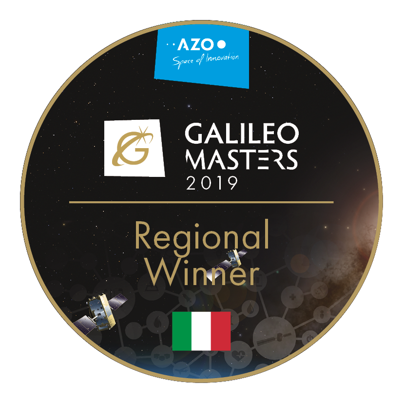
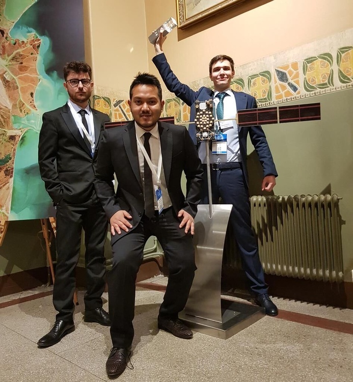
A team of students from Politecnico di Torino has been awarded of the Italian Prize of the Galileo Masters international competition, for the project idea CAPS.loc, at the European Space Week in Helsinki, in Finland!
The idea has been proposed by a team composed by Giampaolo Marinaro, recently graduated by the ICT for Smart Societies at Politecnico, Maria Chiara Bello, student at Politecnico, together with Alex Minetto and Neil Gogoi, PhD students in satellite navigation at the Electronics and Telecommunication Department and members of the NavSAS group.
We publish the common press release prepared in collaboration with Politecnico di Torino.
The Galileo Masters, is a European initiative promoting the innovation and technology transfer in the field of Satellite Navigation. it promotes satellite navigation with a focus on the Galileo system and all the advanced applications based on its technology, such as services, products, and business innovations that use satellite navigation in everyday life. The competition has a worldwide outlook with a strong focus on Europe.
Several prizes are promoted by European Regions and institutions. In 2019 prizes were awarded by some of the most relevant satellite navigation stakeholders in Europe, such as the European GNSS Agency (GSA), the European Space Agency (ESA), the German Aerospace Center (DLR), the Italian Space Agency (ASI) and by more than 20 European Regions.
The Italy Challenge is managed by the Italian Space Agency and co-financed by the European Commission’s DG Grow. The team has been officially awarded on 4 December, at he the Space Oscars – Awards Ceremony of the Galileo Masters and Copernicus Masters held in Helsinki, Finland in the framework of the EU Space Week 2019, an event that gathered together all the major satellite navigation and earth observation stakeholders In Europe.
The Italian Space Agency will now support the winning team providing innovation coaching and promoting of the idea to stakeholders at Italian and European level.
CAPS.loc – GNSS Cooperative Exchange Framework for Android Smartphones is an application for android smartphones. Currently, many of the location-based services (LBS) related to urban mobility rely on such devices. The availability of “raw measurements” on smartphones based on the Android operative system has opened up the possibility of using such data in original ways to imporve the quality of the estimated position.
The idea and the proof-of-concept of CAPS.loc demonstrated how exchanging among connected users the measurements of the distance of the user from each satellite of the GNSS constellation and combining them in a proper way, it is possible to improve the accuracy, precision and robustness of the estimated position.
Sharing these measurements is particularly useful in urban environment where GNSS positioning is weak due to the presence of buildings and obstructions, while this “social” paradigm of sharing information (without threatening the privacy of the position information of the users) improves the quality of the estimated position also where the environment is more critical.
The CAPS.loc team was also selected among the best 10 winners of regional and special prizes, competing for the overall Galileo Masters prize at European level. For this reason, the team was invited to the E-GNSS Accelerator Bootcamp that took place during the European Space week in Helsinki, in Finland, from the 3rd to the 5th of December. The top 10 winners of the regional and special prizes got the chance to pitch for additional incubation services for one year after receiving the Galileo Masters 2019 award. The 10 winners showcased their business ideas, demonstrating to the jury how the incubation services would enable them to move beyond idea conception and start/accelerate true commercial ventures.
This major success is complemented by the amazing result of another team of MSc students of Politecnico that ranked at the second place for the University Challenge prize, the competition reserved to MSc, PhD students and young researchers, that proposed the I Search for Water – IS4H2O – idea. The team is made of 4 MSc students of Mechatronics, Biomedical, and Electronics engineering.
The idea has been developed as a follow up of the work performed in a Challenge done at CLIK during spring 2019 and proposed by the Polito Interdepartmental Center for Service Robotics PIC4Ser addressing applications in the framework of precision farming.
This is a great recognition of the capabilities of Politecnico students, able to merge together research and business ideas on a very complex field like the satellite navigation technology.
IS4H2O addresses the design and implementation of a payload for small drones that uses the GNSS signals and it exploits the power ratios of direct and backscattered from ground to determine water content in the soil. Such information will help the farmers in the irrigation purpose thereby it will save water, time and money. The technological solution proposed is characterized from being low-cost and small-size and suitable for small size drones. Thanks to its unique characteristics, GNSS-R can be part of the growing number of smart tools for agriculture that will soon make the sector even more competitive and environmentally friendly. The IS4H2O team, as one of the most interesting ideas of the competition, was invited by the Italian Space Agency to present their idea in Rome on October 31, in front of a panel of experts.